England & Scotland Maps in Case


England & Scotland Maps in Case
81889
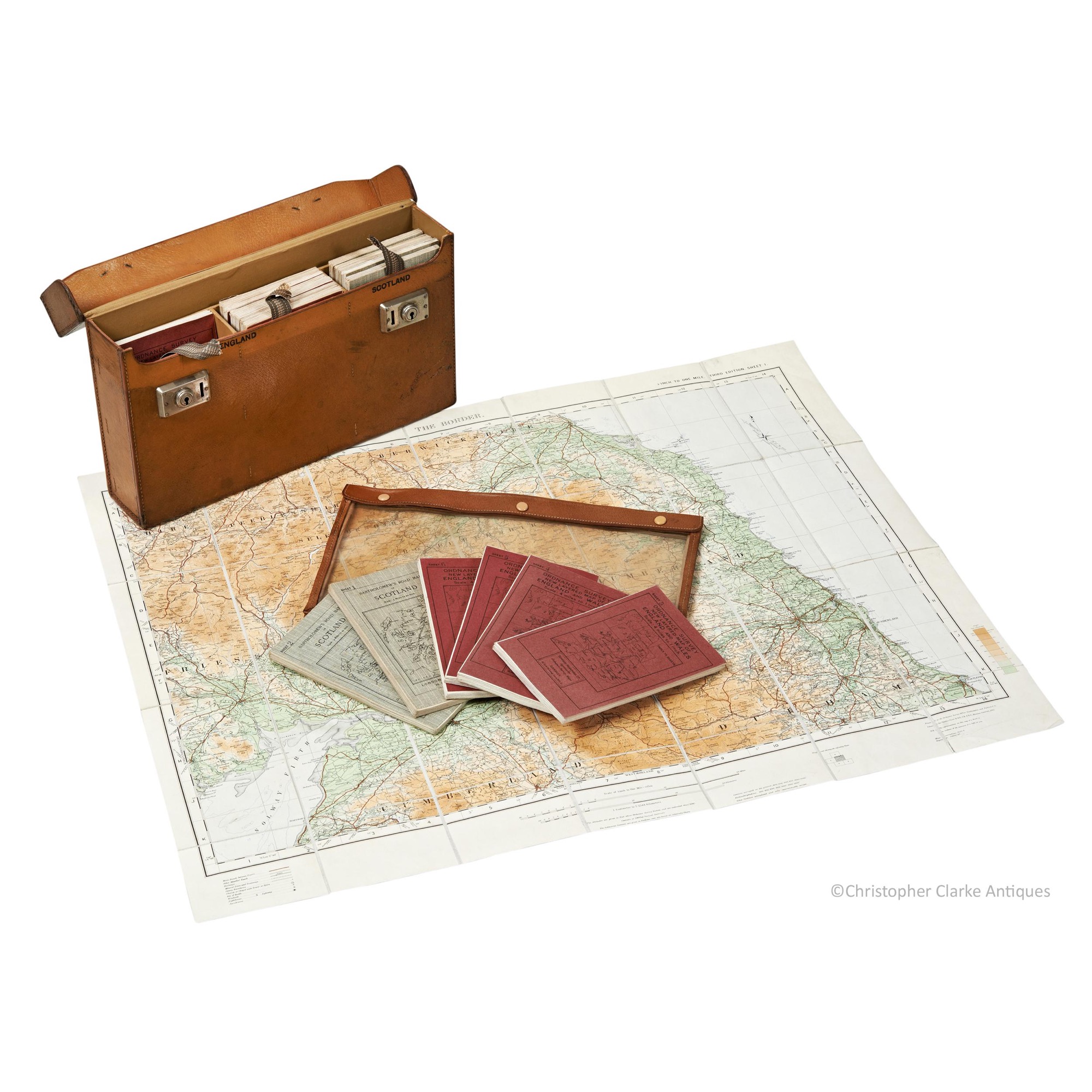
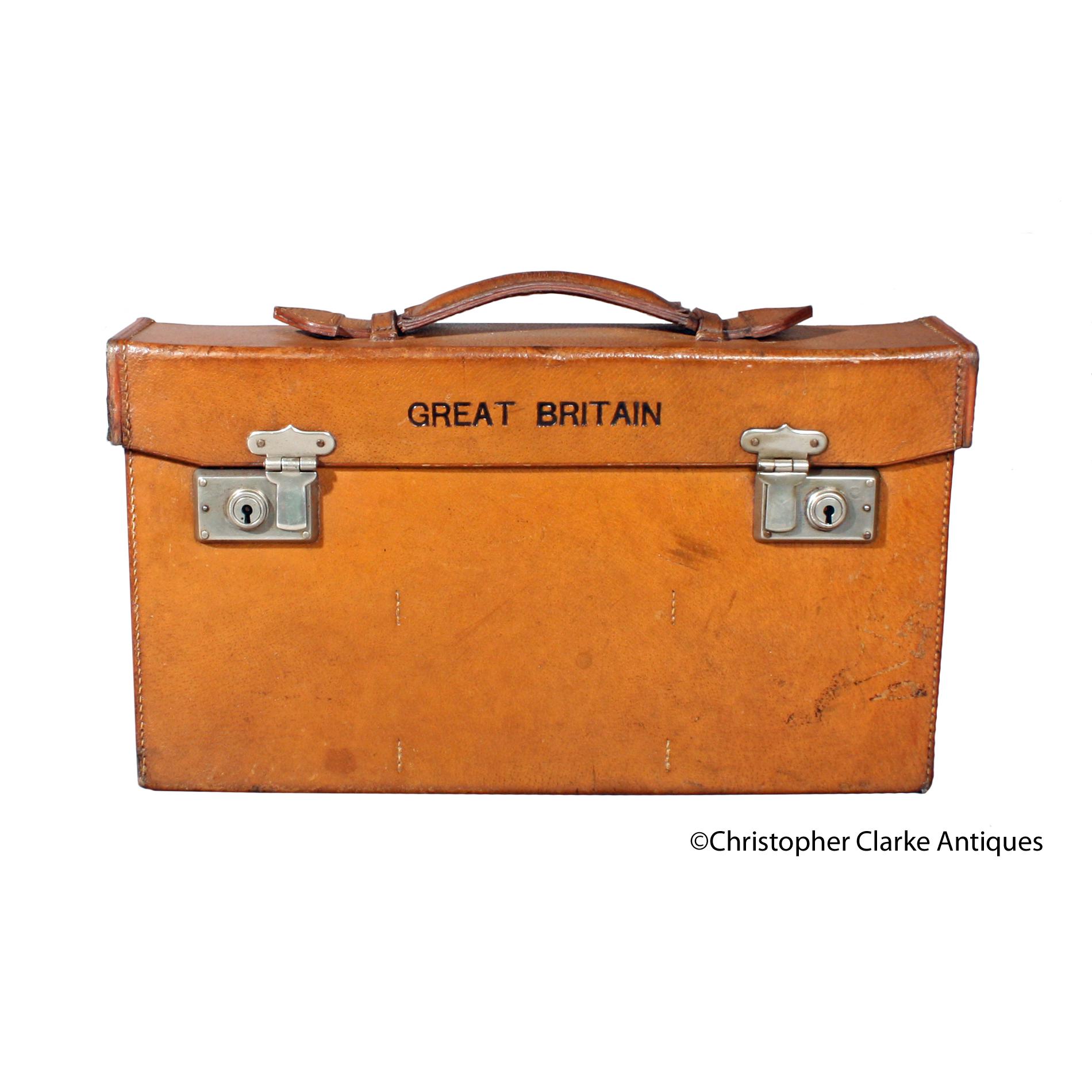
A set of 19 Edward Standford Ltd. Great Britain Ordnance Survey Maps in a leather Case.
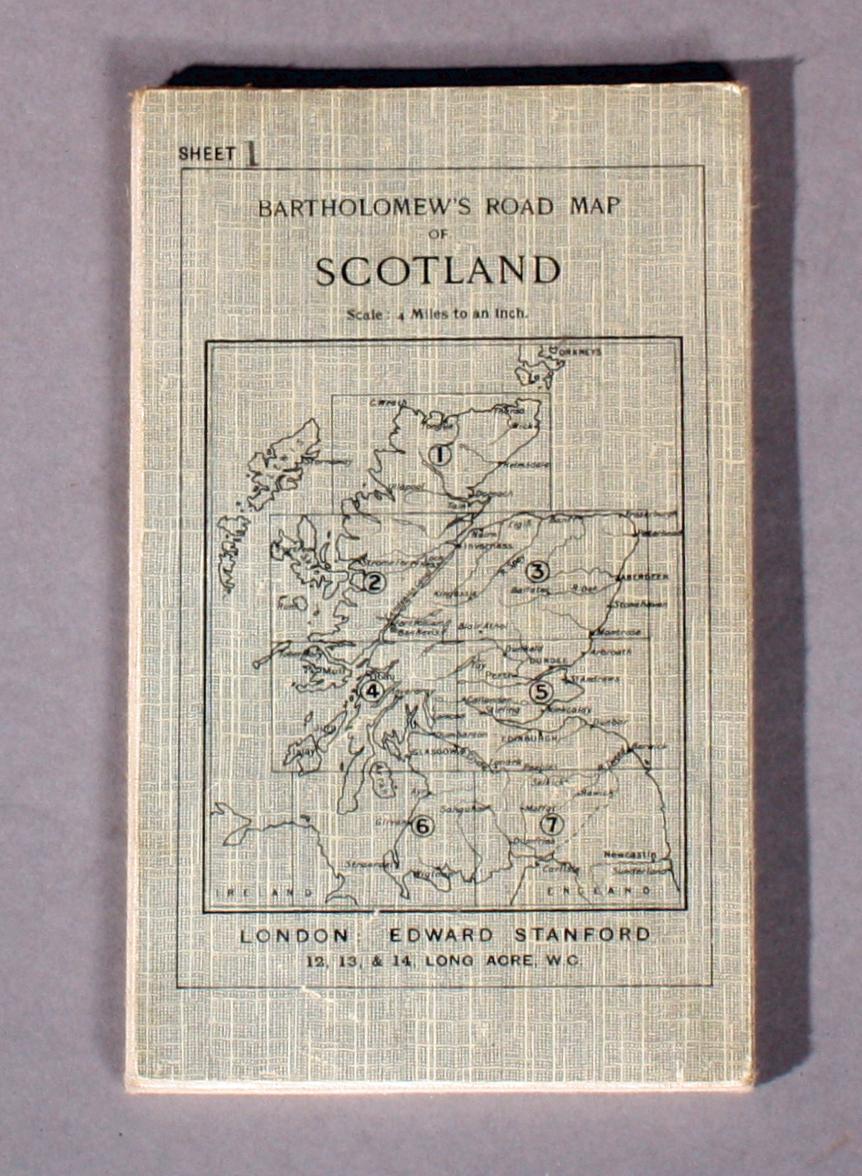
It's unusual to have both England and Wales with Scotland in a set. The case also has a waterproof individual map cover. The England and Wales maps note they were printed at The Ordnance Survey office and Published by Colonel Sir Charles Close KBE CB FRS 1920. Some also note minor corrections dated 1923 -1926 such as railways were inserted in 1924. The Scottish maps are Bartholemew's Road Maps of Scotland and were printed by Edward Standford. Stanford Ltd had offices 12-14 Long Acre WC2 and 29-30 Charing Cross SW1. Two England Wales maps have ink stamps for E.W. Green and may be like for like replacements. Circa 1926.
Case size is given.
Dimensions:
Circa 1926
Leather case with printed paper maps lined on canvas.
United Kingdom
Edward Standford Ltd
Motoring
Good condition. Minor wear as to be expected.
RELATED ITEMS


